
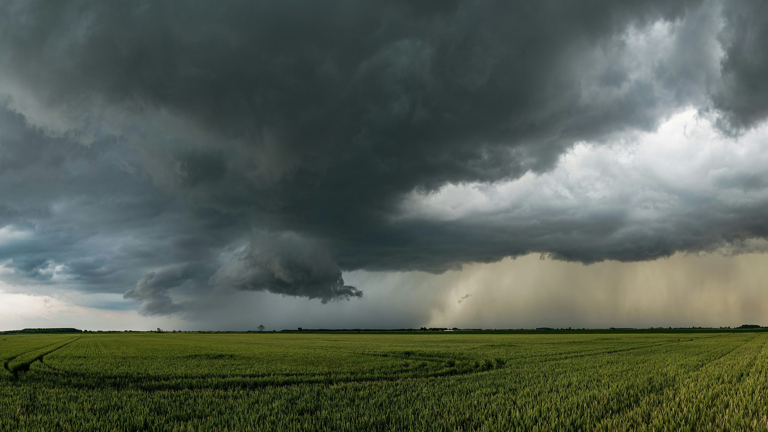
The threat of significant flooding has officially passed for Massachusetts residents even as a persistent storm system continues to bring light rain to the region.
Meteorologists noted that while the most dangerous conditions have moved on, additional precipitation will linger throughout the day.
Regarding the shift in weather patterns, Tevin Wooten stated that “the worst of our flood threat has passed,” per NBC Boston.
Parts of Worcester County have already recorded more than five inches of rainfall, making any further accumulation unwelcome for local residents.
Temperatures are expected to remain locked in the upper 60s as cool winds blow in from the east and northeast.
Describing the current atmospheric conditions, the weather desk noted that “light to moderate rain showers will continue across the state Thursday as a low pressure system remains overhead,” according to MassLive.
Forecasters indicated that Thursday’s rainfall will likely be lighter than the totals seen on Wednesday.
However, a low risk for isolated thunderstorms and heavier showers remains for southeastern Massachusetts during the afternoon hours.
Patchy fog and drizzle are expected to persist statewide overnight and into Friday morning, potentially reducing visibility for travelers to between one and three miles.
Conditions are set to improve significantly by Friday afternoon as breaks of sunshine increase and temperatures climb toward the 80s.
Looking ahead to the next few days, “beach weather returns for the weekend as highs reach back into the 80s,” reported NBC.
Saturday is expected to be the brighter half of the weekend before cloud cover increases on Sunday.
Humidity levels will likely increase gradually through the weekend, though dew points in the 60s should keep conditions tolerable for outdoor activities.
No significant rainfall is anticipated for Saturday, offering a much-needed reprieve from the recent deluge.